Skip to content

About us

Experts in geological consulting

We tackle subsurface problems with an integrated approach, answering public and private clients in a systematic and unambiguous way.

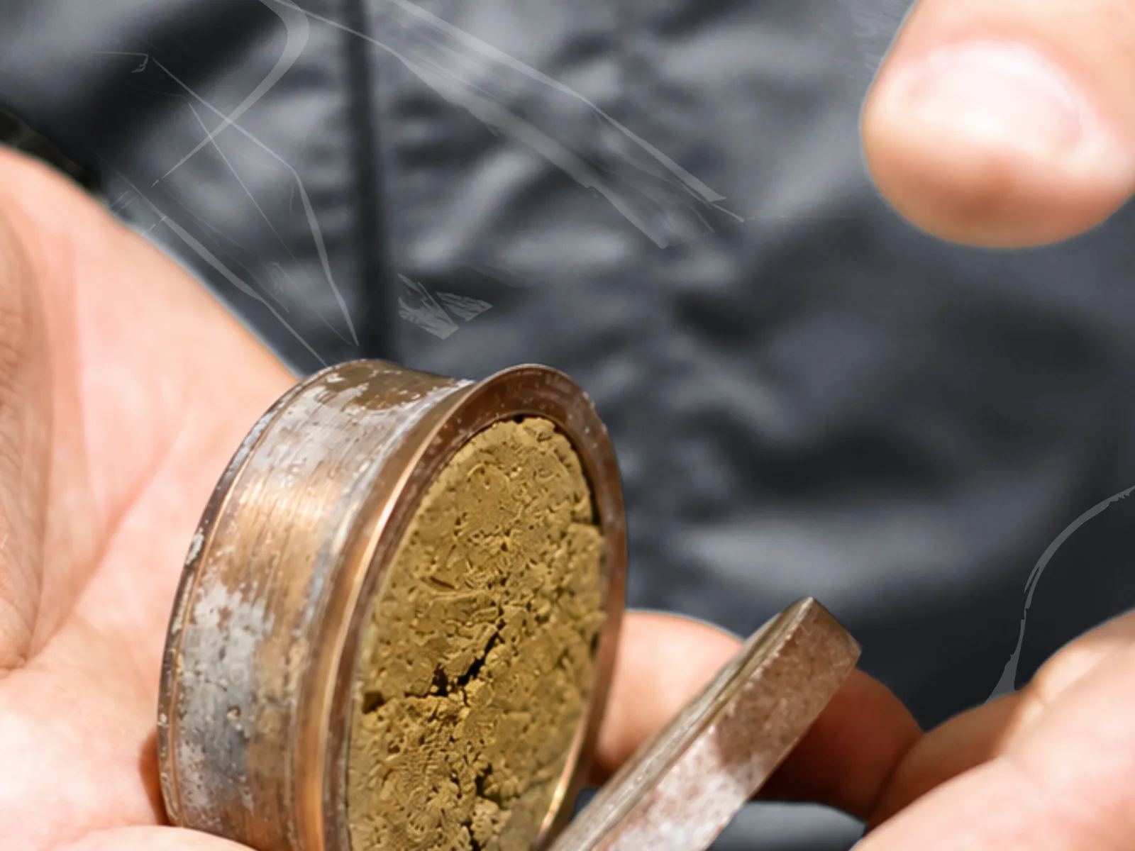
Campione di terreno in un anello di prova

+250

Projects delivered

The subsurface, done properly

Professionalism, reliability and experience, together with constant updating of our methods and approaches, allow us to tackle highly complex geological, environmental and engineering problems across more than 250 projects of every kind.

We approach every project in an integrated way, so that problems are answered systematically and unambiguously.

  • Professionalism and reliability
  • Continuous updating on methods and technologies
  • An integrated approach across geology, geophysics and hydraulics
  • Fast solutions for public and private clients

+250

Sites supervised

A highly qualified team delivers fast, high-quality solutions to public and private clients.

+1000

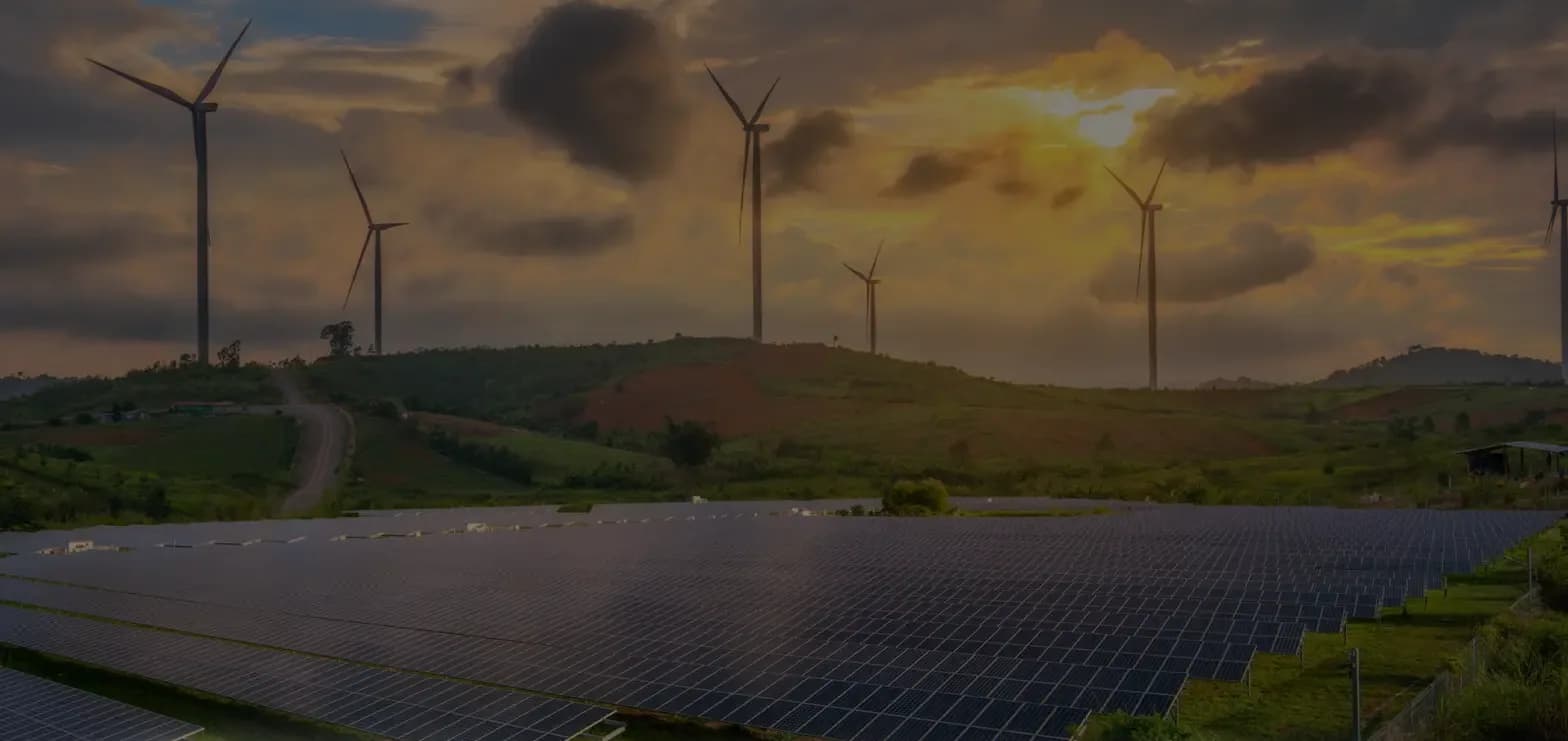
Hectares of solar PV

Geological and geotechnical supervision of ground-mounted solar plants and related works.

Research and development

We are currently developing a new calculation software for the mitigation of hydrogeological risk, together with our partners Geostru and Lumia S.r.l.

Over 250 projects of every kind

The work we do every day, organised by area of expertise.

Geology and geotechnics

From the subsurface model to foundation decisions.

  • Geological and geotechnical reports
  • Geological studies for civil and industrial works
  • Site investigations
  • Geotechnical characterisation of soils
  • Geological modelling of the subsurface
  • Geological compatibility assessments
  • Geological supervision on site
  • Studies for foundations and geotechnical works
Explore geology and geotechnics

Applied geophysics

We read the subsurface through seismic waves and electric currents.

  • Electrical resistivity tomography (ERT)
  • HVSR surveys
  • MASW and near-surface seismics
  • Seismic tomography
  • Down-Hole testing
  • Local seismic response
  • Seismic microzonation
  • Determination of the subsoil category to NTC 2018
Explore applied geophysics

Hydrology and hydraulics

Efficient water management and a safer territory.

  • Hydrological studies
  • Hydraulic assessments
  • 1D and 2D hydraulic modelling
  • Flood-prone area analysis
  • Hydraulic invariance
  • Sizing of drainage and attenuation works
Explore hydrology and hydraulics

Environment

Characterisation, sampling and monitoring for safe sites.

  • Environmental site characterisation
  • Excavated soil and rock (D.P.R. 120/2017)
  • Characterisation of contaminated land
  • Environmental restoration plans
  • Renaturalisation works
  • Environmental sampling
  • Environmental monitoring
Explore environment

Solar PV, agrivoltaics and BESS

The right ground for plants that last.

  • Preliminary technical due diligence
  • Geological and geotechnical studies for PV plants
  • Studies for electrical substations
  • Studies for BESS systems
  • Soil characterisation for trackers and foundations
  • Electrical and thermal soil resistivity
  • Technical assistance during construction and operation
  • Support for AUA, VIA and VINCA permitting
Explore solar pv, agrivoltaics and bess

Surveying and geomatics

The territory turned into measurable data.

  • Topographic surveys
  • GPS/GNSS RTK
  • UAV surveys and photogrammetry
  • LiDAR
  • Point cloud processing
  • Digital terrain models (DTM/DSM)
  • GIS and thematic mapping
  • Raster and vector digitisation
Explore surveying and geomatics

Safety and engineering support

Site experience at the service of those who design and build.

  • Safety coordination
  • Technical and economic feasibility studies
  • Design support
  • Operational works supervision
  • Specialist assistance to EPC contractors
  • Support for engineering firms and energy developers
Explore safety and engineering support

Specialist services

Deep expertise for the most complex cases.

  • Slope stability
  • Rockfall analysis
  • Structural geology
  • Land planning
  • Seismic zonation and microzonation
  • Palaeontological consulting
  • Instrumental territorial monitoring
Explore specialist services

“Water wears away the mountains and fills the valleys, and would reduce the earth to a perfect sphere if it could.”

Leonardo da Vinci

From our laboratory

Tests, samples and instruments, shown by the people who use them every day.

Instruments in the field and in the laboratory

Equipment rental
  • Pagani dynamic penetrometer
  • HVSR
  • TCR24 – soil thermal conductivity
  • X612EM+ – multichannel VHR resistivity meter, 48-72-96 channels
  • SYSMATRACK – 12-channel seismograph, expandable to 24, 24 bit
  • Leica Zeno GG04 plus – high-precision smart antenna
  • Hand augers for environmental sampling
  • Augers and core drills for geotechnical boreholes
  • DJI Air 2 drone
  • Water level meter
  • Motor pump
  • IDS Opera Duo ground-penetrating radar
  • Hanna Instruments IP67 portable pH meter
  • Radwag MA 50.R moisture analyser
  • Pocket penetrometer

Our offices

Sites supervised+250

  • Bari· Head office

Head office

Via Giovanni Amendola 170/11

70126 Bari (BA)

Get directions(opens in a new tab)
Map of Italy with the Geotechnology head office in Bari and the sites we have worked on across Italy.Bari
Our head officeSites that carry our signature

Request a quote today

Tell us about your project and the service you need: one of our managers will get back to you as soon as possible.

Strategic partners and suppliers

  • Massenza Drilling Rigs
  • QGIS
  • Matest
  • Agisoft Metashape
  • MAE
  • DJI Enterprise
  • Geostru
  • Ford
  • Autodesk AutoCAD
  • Apple
  • Jeep